
Cary ZIP Code Directory Coverage
The Cary ZIP code directory has five postal codes identified in USPS and PostalPro material: 27511, 27512, 27513, 27518, and 27519. Each is a delivery or postal association, not an official neighborhood boundary. USPS identifies Cary S&DC at 150 Wrenn Drive as serving all five. The safest reading is modest: use the table to orient a search, then use an exact address in USPS and the Town map before assigning a county or records office. The postal city on a label does not prove that the parcel sits inside Cary corporate limits.
| ZIP | Delivery association | Postal point | Records note |
|---|---|---|---|
| 27511 | Central and east Cary delivery area | Cary Main Post Office | Postal city is not proof of the corporate line. |
| 27512 | Cary associated postal code | Linked in PostalPro to Cary 27519 processing | Confirm an exact address before calling it street delivery. |
| 27513 | Central and north Cary, including Maynard-area routes | Cary postal processing group | Not a town-limit boundary. |
| 27518 | South and east Cary, including Regency-area addresses | Cary postal designation | Exact route controls; the ZIP is not a municipal district. |
| 27519 | West and northwest Cary, Carpenter and newer western growth | Cary postal designation | County and municipal edges require a parcel check. |
USPS material did not confirm a unique-institution or a PO-box-only Cary ZIP. It does flag 27512 as a postal use that needs address-level confirmation. That distinction prevents a common error in a ZIP code directory: turning a processing label into a claim about a street or a household.
Check a Cary ZIP Code at USPS
The USPS ZIP Code Lookup is Cary's verification layer. Enter a street address, city, and state when the question is delivery ZIP. For a ZIP-only question, begin with the city-and-state mode, then confirm the result with a street address. This avoids treating a broad postal label as the answer for one driveway, apartment, or office suite. The result also helps separate the deliverable address from a tax mailing address, which may be elsewhere.
| USPS search option | Fields to supply | Use the result for |
|---|---|---|
| Address to ZIP | Street address, city, state | Verifying the deliverable ZIP for one Cary address |
| ZIP by city | City and state | Starting a postal-area question before street confirmation |
The USPS lookup screen is shown in the official PostalPro tool below.
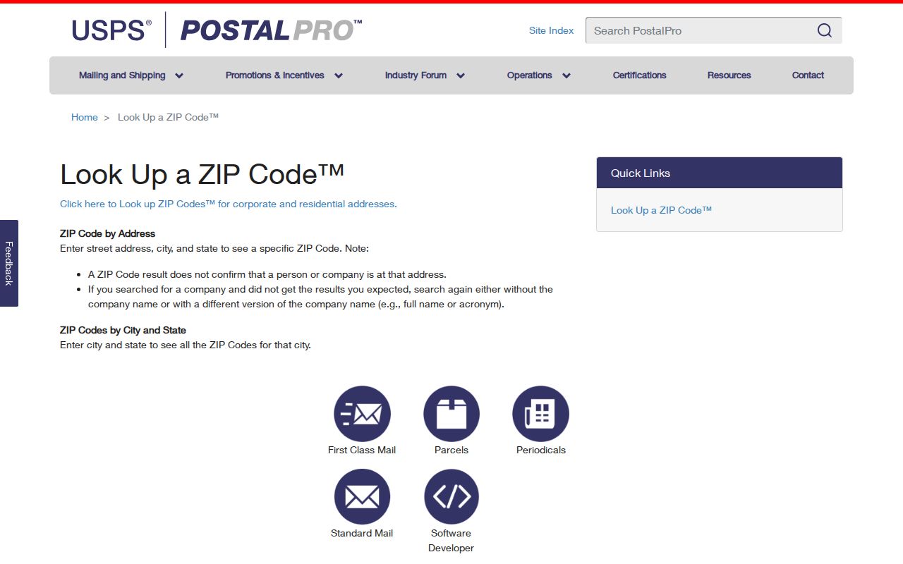
Its address-first form is a useful final check before routing a Cary ZIP code search to a county system.
Cary ZIP Codes Meet Three Counties
Cary's municipal limits extend across Wake, Chatham, and Durham Counties. A ZIP code can narrow a question, but it cannot select the custodian. The parcel county controls the assessment, tax billing, land-record ownership layer, election registration record, and county counter. Most Cary searches begin with Wake, yet a Cary address may belong in Chatham or Durham. Compare the ZIP with the parcel and Town boundary layers before choosing the tax office, Register of Deeds, clerk, or elections office.
For the Wake-side route, Wake Real Estate Search accepts owner, location address, Real Estate ID, and PIN. Chatham and Durham have separate land-record systems for parcels in their portions of Cary. A ZIP cannot replace that county check, and a mailing address cannot prove where the parcel is located.
Overlay Cary ZIP Code Boundaries
The Cary Administrative Areas MapServer offers County Boundaries, Zip Codes, Cary Town Limits, Cary ETJ, other municipal boundaries, and the Urban Service Area. Overlaying them makes the local mismatch visible. The Town's Property Research Map also distinguishes town limits, ETJ, and utility-service boundary. Use these layers to route a records question, not to make a claim that every address in a postal area has the same government service.
The official boundary service is illustrated below.
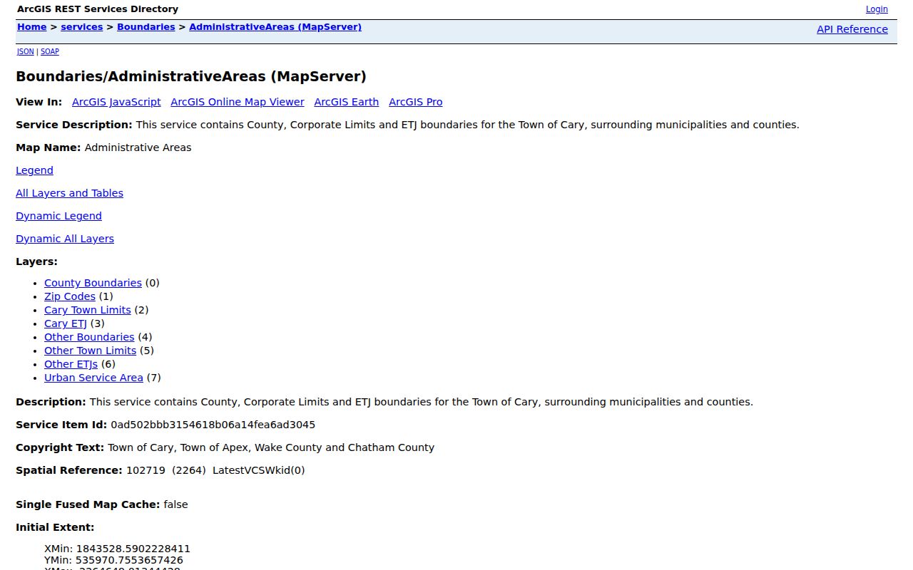
The layer choice is valuable because a ZIP polygon, a Cary town line, and a county line can cross the same search area without matching.
Search Records Within a Cary ZIP Code
A Cary ZIP code directory is most useful as a routing tool, not as a people list. The public Wake property search is address, owner, Real Estate ID, and PIN driven, and the inspected page did not show a ZIP-wide assessment result mode. NCSBE Voter Search is also name based, not a public street or ZIP browse tool. The practical method is to confirm a specific address, identify its parcel county, and then use the right county records. ZIP can still help organize a set of address questions or compare a map layer.
- Verify the exact delivery ZIP in USPS with the street address, city, and state.
- Use Cary's boundary layers to identify county, town-limit, or ETJ context.
- Search the responsible county parcel system by address, PIN, or owner, not by an assumed ZIP-wide filter.
- Use the Register of Deeds, permit record, or allowed voter route only after the address and county agree.
Once the ZIP narrows a question to a street and address, the Cary street directory has the fuller address-by-address record chain.
Cary ZIP Code Filters Have Limits
Public tools do not use ZIP in the same way. Cary's Administrative Areas service includes a Zip Codes layer, while its public property service is parcel oriented and supports map identify and query. Cary permit data is address keyed; an exported file can only be filtered by ZIP if the live schema includes that field. Wake's older permit search uses applicant, permit number, owner, address, and PIN. The official voter search has county downloads, but no inspected live ZIP filter for finding residents.
North Carolina law allows a county or precinct voter list on request under N.C.G.S. §163-82.10, subject to protected-address rules. Ask the correct county elections office about its current file and permitted format. The live lookup does not supply a complete household list, and the research did not locate a Wake-specific ZIP request form or fee schedule.
Note: A ZIP result can guide an address search, but it does not establish present occupancy, voter registration, ownership, or the proper county by itself.
Cary ZIP Code Processing Changes
PostalPro material identifies 27511, 27512, 27513, 27518, and 27519 within the Cary processing scheme. A 2025 USPS labeling notice reflected changes involving 27518 and 27519, while a 2017 notice recorded an earlier grouping. Those notices concern mail processing. They are not evidence that Cary redrew a municipal boundary or that a parcel changed counties. Preserve the date of a postal source when researching an old label, just as you would preserve the recording date of a deed.
Cary's western growth also shows why broad postal language can hide different records history. The Carpenter community plan describes a roughly 475-acre area with nineteenth-century crossroads history and later planned development. A current 27519 address may need a parcel, plat, or deed check before it can be connected to that earlier place name.
Cary ZIP Codes Versus City Limits
ZIP boundaries follow delivery routes. Cary city limits follow municipal law. The Town map adds a third geography, the ETJ, where planning jurisdiction may differ from the corporate line. For a postal-city address, record four separate facts: ZIP, situs address, tax county, and town-limit status. That prevents a searcher from sending a deed request to Wake merely because a label says Cary, or from treating a tax mailing address as the address of the property.
- ZIP code
- A postal delivery code. It helps the mail reach an address but does not set a town or county boundary.
- ZIP+4
- The extra four digits refine delivery sequencing for a more specific segment, building, or address range.
- PO-box ZIP
- A code associated with postal-box service. Research did not confirm a Cary ZIP as PO-box-only, so check USPS before making that claim.
- Unique ZIP
- A ZIP assigned to one institution or organization. No such Cary ZIP was confirmed in the inspected sources.
- Carrier route
- A delivery route used by postal operations. It is not a neighborhood, ownership, or resident boundary.
For older address work, a legal description can outlast postal or street changes. It identifies land through lot, block, subdivision, or other deed language. A situs address identifies the physical parcel, while a mailing address directs tax notices and may be far from Cary. Keeping those labels separate makes the ZIP code directory more useful and less likely to overstate what a postal field proves.
That separation also matters around Cary's changing development areas. Green Level's post office operated from 1847 to 1888, and its crossroads history survives in modern road names. Carpenter began as a nineteenth-century crossroads and later grew into a planned community. Neither history can be recovered from a current ZIP alone. When a current address produces an old community name in a deed, plat, newspaper, or directory, retain both terms in the notes and search each one. Postal delivery, municipal limits, road names, and land descriptions can change on different timelines.
Annexation adds another date check. Cary's municipal datasets include annexation locations, proposed use, staff reports, and Town Council cases. An ordinance directs the Town Clerk to update the official map and sends certified materials to the applicable Register of Deeds and Secretary of State. For a boundary question that affects an address, compare the ordinance or case with the county deed or map and the election-boundary update. Water or sewer service can also be connected to annexation conditions, so a service boundary should not be mistaken for the present town line.